Tuesday- 8th of July 2025
Whilst I had to revert to the second highest mountain after the bus schedule for amount Kuju being infeasible, the eruption level 2 warning for the Nakadake crater, did not pose significant problems.
I flew from Haneda airport to Kumamoto and got the bus to the Aso Sanjo Terminal. There I learned that I would have to take the longer, unkempt path rather than the wooden walkway for the first segment of the climb. This was because the wooden walkway was off limits as it was within 1km of the crater. This meant I saw very few people on the mountain as the majority of visitors take the shuttle bus to the crater edge.
I started my climb at 12:05pm and made it through the first segment in 35 minutes despite the 50 minute prediction on the map. It was then a hands on climb to the top of the mountain. The terrain was unlike the previous two, climbing up a rocky mountainside which likely was once a river bed. By the time I had reached the summit it was 14:10 and I was still feeling strong despite this being the third mountain.
Spending a few minutes on the mountain top, the view of the crater was stunning, with smoke rising into the sky. However, I quickly headed down as I realised it was possible, but highly unlikely, that I could make an earlier bus than intended and get ahead of schedule. Despite starting the climb down at 14:30, I made it back to the parking lot at 13:36, with 9 minutes to spare. It left me tired and sweaty as I had cut out at least 45 minutes from the descent.
It was then a bus and a few trains to Beppu which gave me little respite from the heat as the humidity was largely unbearable. The last part of the days journey was an overnight ferry to Shikoku which was a welcome relief from the heat as I was able to stay on the boat until the morning, ready for number four- Ishizuchi.
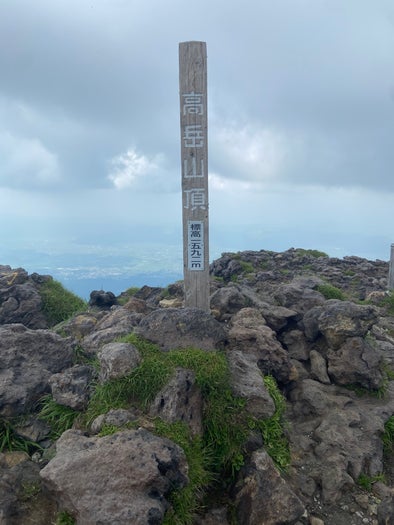
The summit of Mount Takadake (pictured above)
Add comment
Comments